Sunday, December 30, 2018

SHS: We Are Responsible for Our Own Learning


In a major change, The Church of Jesus Christ of Latter-day Saints has revamped its Sunday format for worship. Beginning on the first Sunday of 2019, there will no longer be a three hour block of meetings (Sacrament Meeting, Sunday School, Priesthood/ Relief Society) to attend each Sunday. Instead, weekly sabbath services will be two hours long--a one hour Sacrament meeting will be followed by a 50 minute meeting--Sunday School on the first and third Sundays and Priesthood/Relief Society on the second and fourth Sundays. Yeah! This decrease in religious instruction at church is to be replaced by expanded religious instruction in our homes. Not-so-yeah! A lesson manual has been prepared for families to use in studying the New Testament this year. Here is a link to the on-line manual:

https://www.lds.org/study/manual/come-follow-me-for-individuals-and-families-new-testament-2019/title?lang=eng

What this all means is that there is much less time devoted to the study of the scriptures in church on Sunday. Sunday School is much reduced. Instead, in families with children, parents are expected to hold a Sunday Home School (SHS--my term for how I view this new program). When this program was announced last October, I turned to Marie and said: "Good luck with that!" Meaning good luck trying to gather our two teens each Sunday for a parent lead study of the New Testament. Truth be told, I have always been grateful that others have been assigned to teach our children on Sunday. The teens in particular are much more responsive and respectful of teachers who are not their parents.

Case in point: Former youth Sunday School Teachers Frank and Clarissa Young (center) happily surrounded (after our Christmas worship service last week) by youth they have taught in Sunday School over the years.

Over the past few months I have tried to decide how I can be supportive of this new program and perhaps make it bearable for all involved. I came up with a plan. Given that Will was five and Joel was nine when we lived in Jerusalem for a year, I have decided to jog their memory of the many places we have visited and things we have seen that can aid in our study of the New Testament this year. I plan to blog once-a week with images from our travels in the Holy Land that will augment the lessons in the manual for that week and thus give parents some visual images to talk about and to learn from. I hope these blog posts will be something our children enjoy and something that helps them to better understand the New Testament and the life and teachings of Jesus.

The lesson to study this week and next Sunday (We Are Responsible for Out Own Learning) is an introduction to the year-long program. One section from the lesson that could benefit from some Bible images is this:


One great way to help your family prepare to learn from the New Testament this year is to review the parable of the sower. Your family might enjoy looking at different kinds of ground near your home to visualize the types of ground described in the parable. What can we do to cultivate “good ground” in our home? (Matthew 13:8).

Here are some images of types of ground in the Holy Land:

On a March 2010 walk from the Mt of the Beatitudes (commemorated by the Mussolini commissioned Church) down to the shore of the Sea of Galilee we saw three types of ground mentioned in the Parable of the Sower. Notice the banana grove where blue plastic bags are placed over the ripening bunches of bananas.

 Thorns

 Way Side

 Good Ground with wheat recently machine cut by Israeli farmers.

All three.
Sea of Galilee (Lake Kinneret), plain of Magdala, Mt Arbel and the Horns of Hittin in the distance.

Good ground in the Valley of Elah (May 2010) where David slew Goliath. Tomato plants with drip irrigation (invented by Israelis) and plastic sheeting to hold in the moisture.


A stony, way side in the Valley of Elah. Lots of stones for slinging.


 Wheat in the Valley of Elah. May 2008.

 Israelites to the left, Philistines to the right.

 Wheat and thistles.

Anemones (lilies of the field) blooming in a stony place (February in the Shephelah at Beit Shemesh).

Stony Places. Rocky ground (limestone) and olive trees in Shepherd Fields north of Bethlehem. 


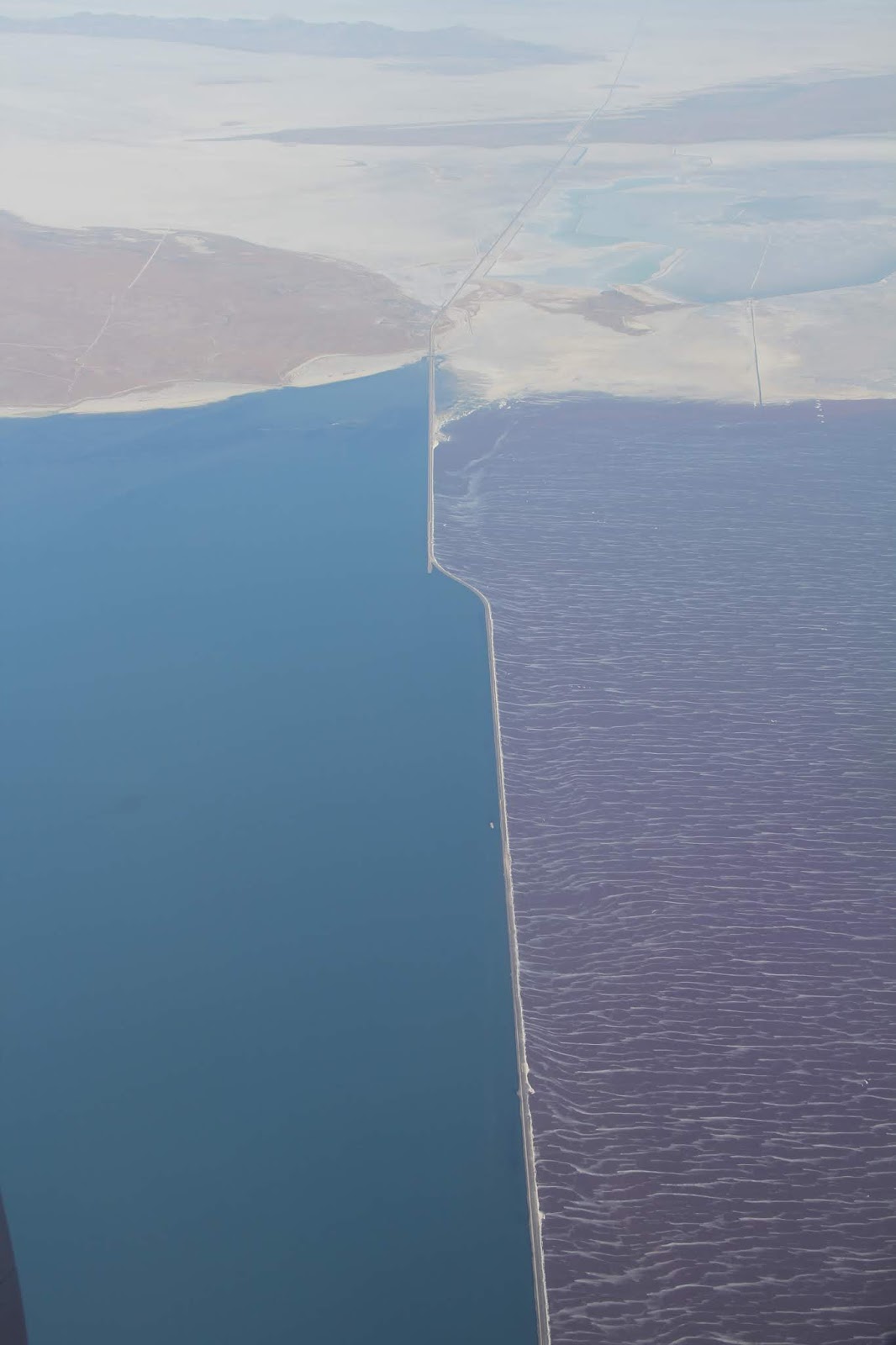
Palestinian homes and agricultural land in May 2010 (photo taken from atop the Herodium) in the hills of Judea to the southeast of Bethlehem and near Tekoa--home town of the prophet Amos.  Notice the olive orchards and the fertile fields surround by rocky places. The Dead Sea and the hills of Moab are in the distance. The area from these homes down to the Dead Sea is part of the Judean Wilderness which is a rain shadow and not very conducive to the sowing of crops due to the lack of rain.
 
 
Fertile Huleh Valley (irrigated with Jordan River water) in Northern Israel with thorns in the foreground.


Central Galilee with Arab town of Arraba surrounded by farm land and olive orchards growing in the rich terra rosa soils littered with limestone rocks.

Stony land and way side in the Galilee between Nazareth and Turan (1989).

 
Good ground, stony places, thorns and a Palestinian village set on a hill in Samaria (modern day West Bank) (1982). Palestinian villages are generally built on hill sides and hill tops so as to not encroach upon the more fertile alluvial soils washed down and found on the valley floors. 


Biblical village of Gibeon (modern day Jib) in the hills of Benjamin.  Ancient rock terraces of limestone still grow grapes and other crops. Grain fields in the flat lands. 
 

 Palestinian green grocery on the Mount of Olives at "Crash Corner". Huge cabbage and cauliflower. 2010

 "And brought forth fruit, some an hundredfold, some sixtyfold, and some thirtyfold."

 Fruits of Jericho, 1982.

 Fruits of Nazareth 1989.


Saturday, December 8, 2018

At the Railing


This has been a rough week for the BYU community. On Monday morning during classes a 19 year old student committed suicide by throwing herself over an in-door railing on the fourth floor of the business building. I know next to nothing about this student (I recently learned she was Native American and Polynesian). The fact that she was at BYU means that she was an above average student in high school and that she lived a religious life. What brought her to the railing may never be known. Perhaps it was depression or poor performance on an exam. Perhaps it was unacceptance due to differences of skin color or sexual orientation. Perhaps it was loneliness or a loss of love. Perhaps it was a feeling that she would never measure up to the high expectations of being a BYU student or a Mormon. Sadly, whatever the reasons, at that fateful moment she felt life was no longer worth living.  

When I attended BYU (1980-83) for my master’s degree in International Relations, I never had such moments of despair. My most troubling times revolved around trying to maintain my B+ average in Arabic, trying to find someone to date, and dealing with eight roommates, some of whom had no idea how to wash dishes and others who liked to pilfer my cereal late at night. Suicide was something that I seldom heard about (especially at BYU) and something I never ever considered. 

For the past 26 years I have been a geography professor at BYU. During that time I married, had three children, served as a bishop, and taught at the BYU Jerusalem Center. Three and a half years ago I spent my semester-long sabbatical teaching on Semester at Sea. For four months our family sailed (on a cruise ship masquerading as a floating campus) from California to England via stops in ten countries in Asia and Africa. I blogged about the experience as a photo journal for our family and for grandparents and other family members and friends to enjoy. From a digital distance it looked like a wonderful, happy adventure. It was indeed, but it also had its unseen, un-posted dark side. 

In the few years leading up to Semester at Sea, my life was thrown some troubling and unforeseen “curve balls”. Foundational faith and hope began to falter. Things that were once certain were no longer certain. As we sailed around the world, despair started to sink in. My future no longer seemed bright. At night after the kids were in bed I would walk the deck, seeking answers, seeking solace. Some nights, in the middle of the Pacific, Indian and Atlantic Oceans, I would lean on the fifth deck railing looking down at the black sea thinking the unthinkable—that my insurmountable woes would disappear if I jumped. 


 self portrait at the railing

I didn’t jump, but I certainly considered it. I wanted relief, but I knew that my relief would leave sadness and hurt in its wake. Love and support from family and friends have helped me hold on. Suicidal thoughts still pop up now and again, but I choose to focus on seeking fulfillment and joy in this life no matter how fleeting it all might seem at the present. 

To anyone who might be standing at a railing thinking life is too hard, please know that there are many people out there who are willing to listen, accept, help and love. You may not know it, but they too may have had similar thoughts to yours. It may be hard, but please call or text a hotline, or talk to a counselor, a supportive sibling or parent, a roommate or spouse, or a far off friend you haven’t seen for a long time. Or if you are a BYU student drop by my office (674 KMBL) or the office of any of your professors and tell us that you are hurting. We will listen. We will help. We will be lenient. We might even share a box of Kleenex to wipe away any tears. And in my case, I will tell you of times when I stood in despair at a railing and chose to continue living. I will tell you that some of the hurt may never go away, but it does get better. Hold on to the railing, hold on to life.

Tanner Building from a distance.

Student inspired memorial in the Tanner Building.


Wednesday, November 21, 2018

Lakeside and Skull Valley


Tuesday I took a road trip. First stop was the Layton Utah Mission office in Kaysville where I dropped off a Thanksgiving delivery (medicine, new pajamas, thank you notes, Advent candles and holder, raspberry jam and lots of fruit) for Hermana Emmett. I got to meet mission president Call who had all kinds of good things (naturally) to say about Sarah's service. That was a great stop.

I then drove west on I-80. First stop Grantsville for Gas and a Dr. Pepper.


I then headed north to Lakeside off of exit 62.

The better maintained road to the left (which doesn't show up on maps) leads to facilities at the Utah Test and Training Range--i.e. bombing range.

The road to the right heads to Lakeside by traversing through the test site--which is part of Hill Air Force Base.


Air Force facilities


 Looking west across the salt flats to Desert Peak.

A lonely road.


End of the road--Lakeside.

Lakeside Butte. I parked and then headed east along the RR tracks.

Looking northeastward to the Promontory Range across the exposed bottom of a much reduced Great Salt Lake.


Not sure of the purpose of these wood pillars filled with rocks.


Self portrait from the RR bridge built to allow water to pass between the north and south arms of the Great Salt Lake.

Looking east along the causeway the bisects the lake. For an interesting book about back in the 1980s when the lake was at its highest read Terry Tempest Williams' book called Refuge.


https://en.wikipedia.org/wiki/Lucin_Cutoff

http://www.kuer.org/post/railroad-repairs-will-cut-water-flow-great-salt-lake#stream/0

The causeway limits the flow of water between north and south which leads to color differences due to a salt loving bacteria found in the northern arm..

https://www.up.com/aboutup/community/inside_track/causeway-6-14-2016

 Lakeside is bottom left. I walked over the bridge and then about 200 yards further east along the causeway.I never got to a point where there were full lake waters on either side.
 https://www.usgs.gov/media/images/aerial-view-great-salt-lake-causeway


On a flight to Indonesia in July 2016 I took these three photos of the causeway. Lakeside is at the northern end of the Lakeside Mountain range (left center) right where the causeway meets land.


At the west end of the causeway (top) you can see the bridge with a thin meander of water flowing under it. Water levels are down from two years ago.


There's a train coming.


Head lights appear.


Not sure what these curiously shaped Styrofoam yellow things were. They were all along the track.

I tried driving up Lakeside Butte, but a local mining company had blocked off the road. The train tack is seen heading west across the salt flats.


Lakeside Range

Two I-15 exits to the east I turned south on state road 196 through the appropriately names Skull Valley. I drove north through this Valley a few years ago with the intent to visit Iosepa but I failed to find it. Coming from the south, this is the marker.

Coming from the north this is what I saw.

Iospea is a fascinating story. It was founded by Mormon Immigrants from Hawaii who for a few decades made a go of farming and ranching in the desert west of Utah.


All that remains of the settlement is the cemetery which is lovingly cared for and which now houses facilities for a large Polynesian gathering on Memorial Day.


Skull Valley

Looking southwestward to the tress and structures of Ensign Ranches. From what I could tell that is the area where the square-blocked town of Iosepa once stood.


For more information on Iosepa check out these articles:

http://honolulumagazine.com/core/pagetools.php?pageid=6108&url=/honolulu-magazine/november-2008/remembering-iosepa/&mode=print
 http://archive.sltrib.com/article.php?id=56607504&itype=CMSID
http://utahstories.com/2011/08/iosepa-mystery-utahs-hawaiian-pioneer-town/


 Cemetery is lower center.


The central portion of the valley includes vast holdings of the privately owned Ensign Ranches.

My presence was very curious to the cows. They just stood and stared,


South of Iosepa and Ensign Ranches is the Skull Valley Goshute Reservation.


In 1996 the Goshute tribe proposed using some of their reservation lands as a dump for nuclear materials (perhaps at this landfill site--from a photo from my drive two years ago).  Governor Leavitt of Utah said that Goshutes could do what they wanted to on their sovereign lands, but the State of Utah would not allow the transporting of any nuclear materials along state roads (state highway 196 is the only way in and out) which nixed the project. That was a curious reaction given the fact that Goshute land is surrounded by federal and private facilities dealing with hazardous materials.


For more about Skull Valley and the battle over nuclear waste read this interesting article (with accompanying map, above) from Outside Magazine: https://www.outsideonline.com/1887871/valley-shadow

From the south end of Skull Valley I then headed east along the old Lincoln Highway (199) up an over the Stnasbury Mts to Rush Valley then south through Vernon, east through Eureka and finally home. A great day.